Due at 12pm on 10/16
Intro / Over the last few weeks we have covered: critique; layout principles and visual hierarchies; basics of typography and color; basic competencies in Inkscape; and the fundamentals of what graphic design is and does. Now, you will be challenged to contextualize and utilize all of these principles, ideas, and skills to complete Assignment 5, see more below.
Your task for A5 is to create a reference map of New York City using data from NYC Open Data and the NYC Geodatabase from Baruch College. The theme of your map, or what it shows, is completely up to you. But the phenomena displayed must be unified (i.e. related, not connected spuriously or randomly). Hint>>choose your data wisely! See relevant examples below.
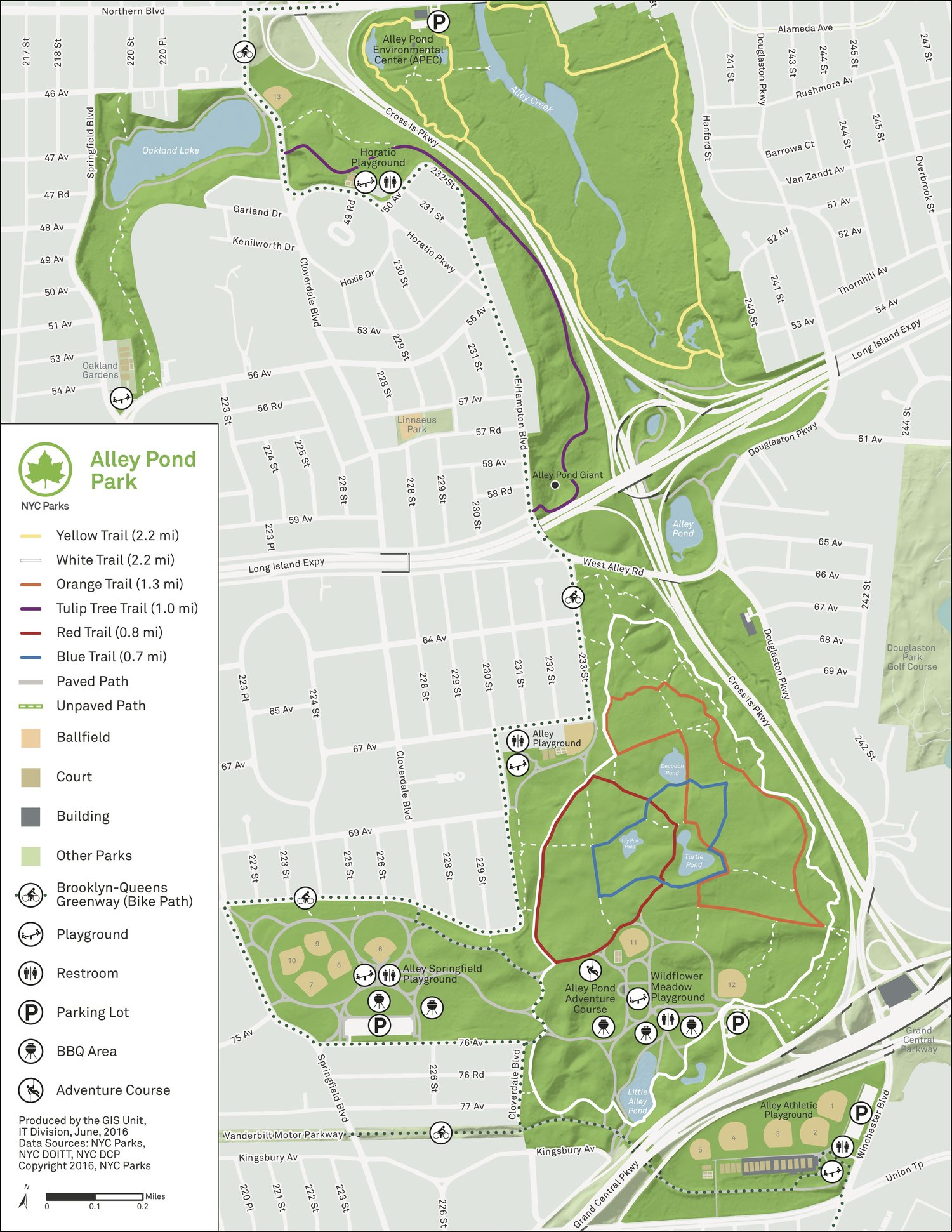
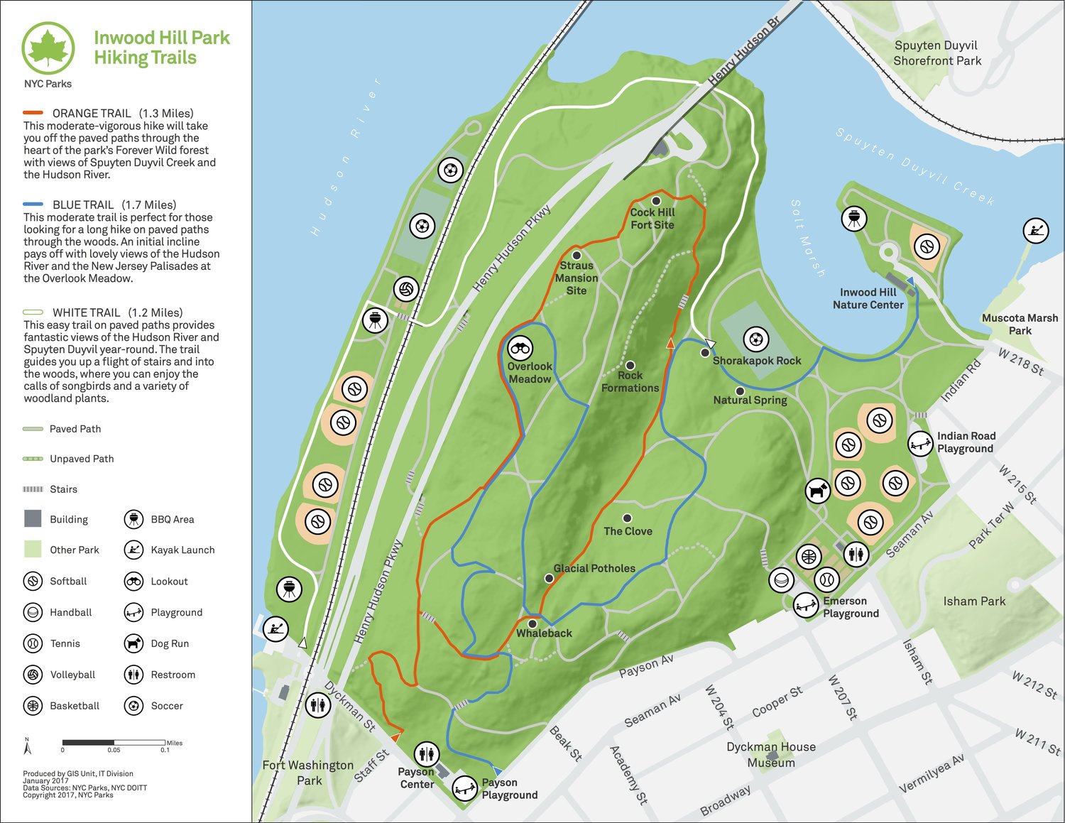
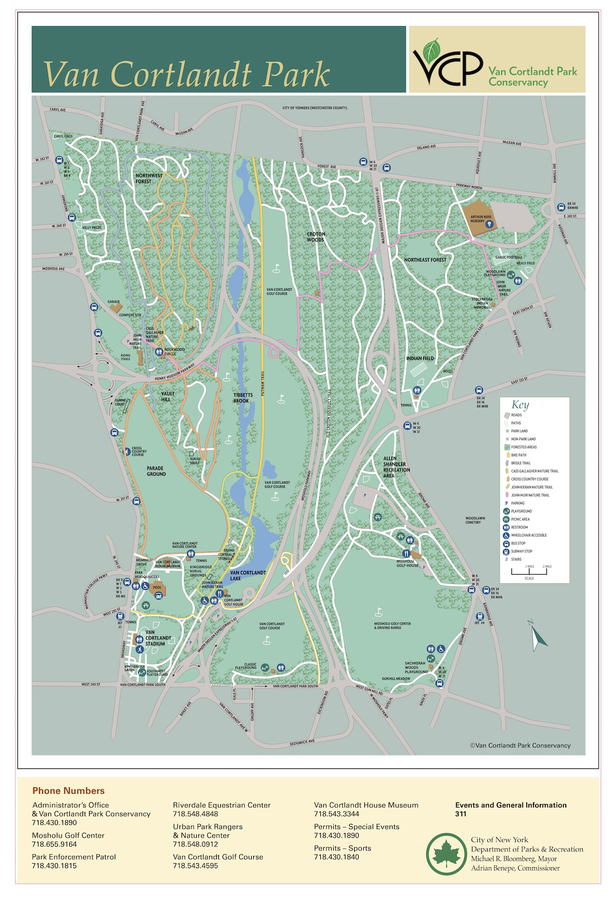
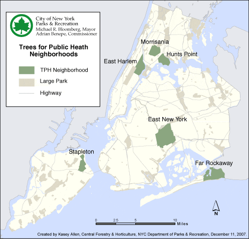
Examples:
Constraints
- Map utilizes data from NYC Open Data and/or NYC Geodatabase
- Map has a visible unified theme
- Map is symbolized with appropriate color scheme (appropriate given the data)
- Map should be made in either Arcmap or QGIS with layout and styling done in Inkscape
- Map should use two contrasting typefaces of your choice (more if necessary but remember moderation!)
- Map should be labelled effectively/appropriately
- Include explanatory text if it is necessary for efficient comprehension of what your map presents
- Maps should include all other basic cartographic elements (i.e. title, north arrow, scale bar, sources, legend, etc.)
Data /
Deliverables /
- One New York City Reference map (saved as JPEG)
Please save your maps using the usual naming convention and upload to your Student folder by the deadline.

